How do you accelerate reconnaissance operations and reduce human error in aerial image intelligence?
Our client — a national defense agency — needed a scalable solution to automate the analysis of aerial and satellite imagery for object detection and classification.
We developed AeroIntel AI — a custom AI-powered platform that:
-
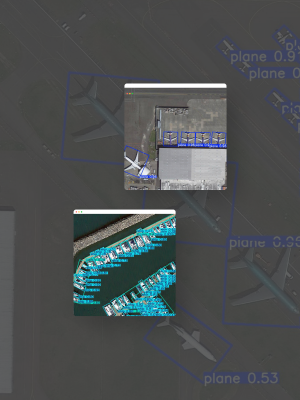
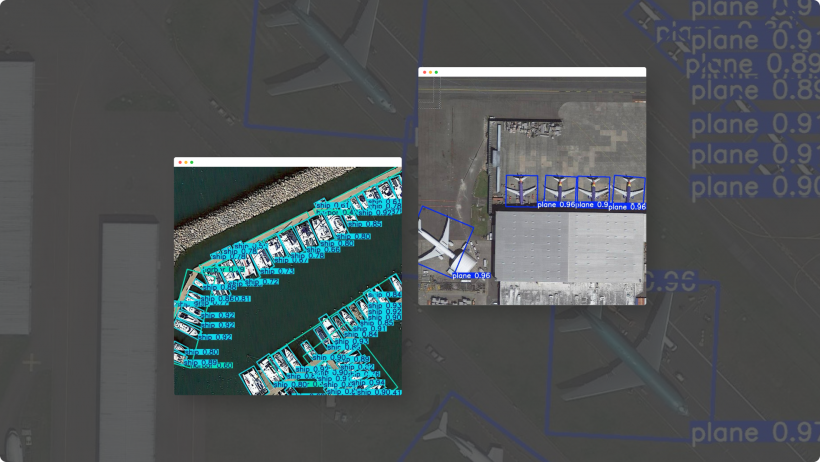
uses domain-specific computer vision models to detect strategic objects in aerial and satellite images
-
processes over 200,000 labeled objects with an average inference speed of 0.3 seconds per image
-
integrates with GIS and situational awareness systems for seamless operational deployment
Client results:
-
up to 90% reduction in manual analyst workload
-
near real-time detection with over 80% mAP accuracy
-
faster intelligence cycles and improved decision-making speed
Download the full intelligence report to see how AeroIntel AI is transforming aerial image analytics for defense and strategic operations.

