
Commercial drone operators lose up to 30-40% of their potential profitability due to regulatory and technological constraints on visual-line-of-sight operations. Indeed, transitioning to this approach is hindered by fundamental architectural challenges – specifically regarding command and control link management and the certification of onboard autopilot drone navigation systems. In this article, we’ll explore main engineering insights and system requirements that must be addressed; without them, scaling BVLOS drone operations remains a high-risk experimental endeavor.
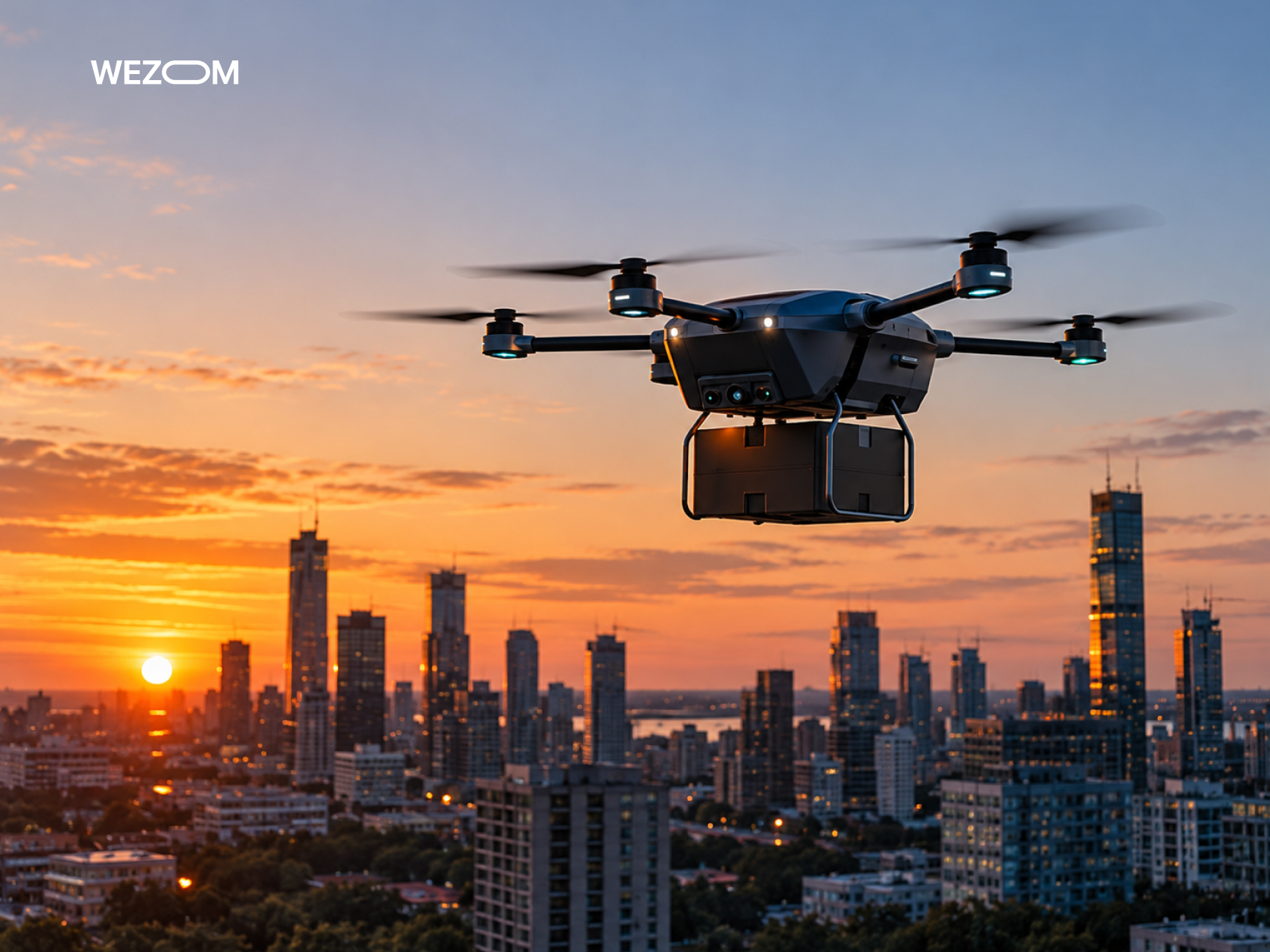
What Is BVLOS? Beyond Visual Line of Sight Explained
The scaling of the unmanned industry is constrained by fundamental definitions of visual control. Understanding the architectural differences between flight modes enables engineers to establish appropriate fault-tolerance requirements for onboard BVLOS drone software as early as the mission design phase.
BVLOS Meaning and How It Differs From VLOS and EVLOS
So, what is the BVLOS meaning? In the standard VLOS mode, an external pilot is required to maintain continuous visual contact with the drone, which limits the operational radius to 500-700 meters. An intermediate mode, Extended Visual Line of Sight, incorporates ground-based observers but fails to solve the issue of scalability. BVLOS flight, by contrast, expands the operational range of unmanned aircraft. The drone operates outside the operator’s direct line of sight, relying instead on onboard autonomy and satellite navigation.
How Beyond Visual Line of Sight Drone Operations Work
The architecture of a BVLOS drone flight is built on the concept of autonomous mission execution, with the option for dynamic intervention from a control center. An onboard computer autonomously manages the flight profile within a pre-approved four-dimensional corridor (three spatial coordinates plus time), while a ground control station (GCS) ensures drone telemetry monitoring. The system overcomes terrain-induced blind spots by utilizing 4G/5G cellular networks and satellite relay links.
Why BVLOS Technology Matters for Commercial Drone Operations
The economics of commercial remote drone operations shifted fundamentally with the transition to beyond visual line of sight flight. Long-range drone inspections or “last-mile” delivery only becomes cost-effective when a single operator at a remote station can coordinate a fleet of autonomous aircraft – thereby saving hundreds of man-hours that would otherwise be spent on field deployments.
How BVLOS Drone Operations Work: Main Technologies and Systems
Ensuring safe flight over distances of tens of kilometers requires a comprehensive software stack. Below, we will examine the technological layers that transform a standard drone into a certified autonomous system.
Autonomous Flight Planning and Navigation Software
Software for automated flight planning differs fundamentally from consumer-grade route-planning BVLOS applications. Industrial-grade planning tools generate flight paths that account for an airframe’s dynamic limitations, wind shear at various altitudes, and mandatory safety corridors. The onboard autonomous drone navigation module employs geospatial analysis algorithms to instantly recalculate the route in response to sudden changes in weather conditions or the emergence of restricted zones.
Command and Control (C2) Links for Long-Range Drone Flights
Developing a control link for a range is a complex task. The goal is to simultaneously establish a link that would be able to maintain connection as long as possible. Only using line-of-sight radio devices is not a viable option anymore. Therefore, the technology of this type relies on a combination of special frequency bands with LTE/5G mobile networks; moreover, it employs the use of advanced multi-modem systems so that it can switch operators quickly.
Detect-and-Avoid (DAA) Systems for Airborne Collision Prevention
BVLOS is not possible without drone regulatory compliance. The major requirement is that the aircraft should be capable of carrying out drone collision avoidance by itself. The detect and avoid (DAA) systems onboard the aircraft consist of several elements such as passive ADS-B receivers (which allow tracking the tagged aircraft), small onboard radars, and computer vision with lightweight neural networks which are capable of recognizing aerial threats and creating evasive maneuvers in real-time.
GPS, GNSS, RTK, and Sensor Fusion for Reliable Navigation
A loss of GPS signal or intentional jamming during a long-haul flight can result in a disaster. Advanced technology uses sophisticated sensor fusion employing Kalman filters: inputs from multi-frequency RTK receivers are combined with data received from inertial measurement instruments, motion odometry information, and vision-based locating systems. This enables the drone to safely navigate despite interruptions in satellite signal transmission.
Communication Redundancy, Lost-Link Procedures, and Fail-Safe Systems
The engineering reliability of BVLOS systems is tied to multi-level redundancy of beyond line of sight communication protocols. When main command and control (C2) links break, the drone launches a multi-stage protocol for lost-link contingency procedures: the device tries to switch to a backup satellite channel, performs a short climb to restore cellular coverage, or automatically returns to the starting point according to a programmed emergency vector.
BVLOS Drone Software Architecture and Essential Components
Errors in the control architecture or delays in data synchronization over distances of tens of kilometers lead to loss of control over the device. Below, we will consider the software components that form the industrial BVLOS mission stack.
Ground Control Stations and Remote Operations Centers
In a BVLOS architecture, GCS has evolved from local control consoles into distributed Remote Operations Centers. Operators no longer engage in manual piloting. Instead, the GCS interface is designed along the lines of an air traffic control workstation. The software provides real-time visualization of fleet telemetry and displays geospatial safety corridors, enabling the immediate detection of any deviations in flight parameters from the established mission profile.
Flight Management Systems and Automated Mission Execution
FMS systems are responsible for the autonomous execution of a flight mission without human intervention. The onboard FMS continuously compares the current trajectory against a four-dimensional spatial corridor. If the drone deviates from its assigned course, due to strong crosswinds or turbulence, the software instantly recalculates the optimal correction vector, thereby eliminating human error and reducing the cognitive load on the remote operator.
Real-Time Telemetry, Drone Tracking, and Remote Monitoring
Telemetry transmission over ultra-long distances relies on hybrid communication channels featuring dynamic data compression. A software stack compresses the data stream from hundreds of sensors into compact packets, which are then transmitted via encrypted MQTT or DDS protocols. A cloud-based backend performs high-precision mapping of the drone’s coordinates onto vector maps, ensuring continuous, end-to-end monitoring of the propulsion system, batteries, and sensor equipment.
UAS Traffic Management (UTM) and Airspace Data Integration
Drone airspace integration into an UAS traffic management (UTM) is a mandatory requirement for legal BVLOS flight. Onboard and ground-based software exchange data in real time with national airspace databases. This enables the system to automatically request digital flight authorizations, receive alerts regarding potential altitude conflicts with manned aircraft, and promptly adjust flight paths if the status of restricted airspace zones changes.
Cloud-Based Fleet Management and Multi-Drone Coordination
Implementing unified drone fleet management is a mandatory requirement for legal BVLOS flight. Onboard and ground-based software exchange data in real time with national airspace databases. This enables the system to automatically request digital flight authorizations, receive alerts regarding potential altitude conflicts with manned aircraft, and promptly adjust flight paths if the status of restricted airspace zones changes.
API Integrations, Data Processing, and Mission Reporting
The value of BVLOS missions lies in the data collected, so the architecture necessarily includes rich APIs. After landing the drone, raw arrays of geospatial information and lidar readings are automatically uploaded to cloud processing pipelines. The software builds orthophotos, 3D models of infrastructure, and then generates final reports for the customer’s engineering services without manual operator intervention.
FAA BVLOS Regulations and US Compliance Requirements
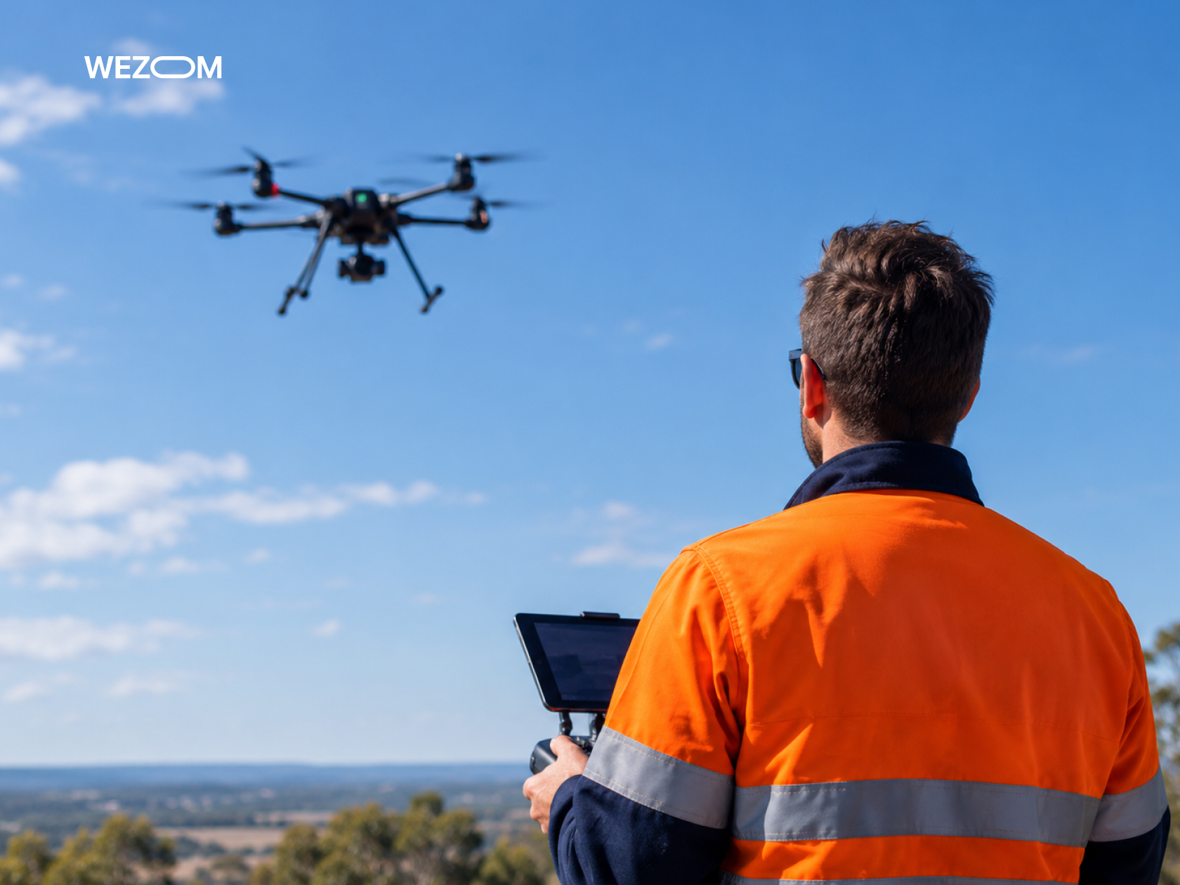
Understanding the rationale behind the regulations of the U.S. Federal Aviation Administration and their international counterparts is important for the legal protection of businesses and for the design of unmanned platforms.
Part 107 Rules and Restrictions for BVLOS Drone Flights
The Part 107.31 waiver requirements were designed for manual operations within the pilot’s line of sight, requiring the pilot to maintain visual contact with the aircraft. Consequently, beyond visual line of sight drone operations are effectively prohibited under the current Part 107 FAA BVLOS framework, necessitating specific individual waivers and exemptions. The approval process for these can take months, as operators are required to provide mathematical proof of the safety of every component within their autonomous system.
FAA Part 108 and the Regulatory Framework for Routine BVLOS Operations
Recognizing the limitations of a system based on one-off authorizations, the FAA is developing a new regulatory framework, FAA Part 108 regulations – intended to legalize routine commercial BVLOS flights. This new framework shifts the focus from manual control to the certification of DAA system reliability and the fault tolerance of C2 communication links.
Remote ID, Airspace Authorization, and Operational Limitations
Drone Remote ID compliance is mandatory for all UAVs. During a BVLOS flight, an unmanned aerial vehicle continuously broadcasts telemetry data and its current status via onboard communication modules. Ground-based automated airspace authorization systems verify this information and strictly restrict flights over populated areas if the airframe’s structural integrity class has not been confirmed.
Safety Risk Assessments and Acceptable Means of Compliance
A Specific Operations Risk Assessment serves as the basis for obtaining regulatory approval. The operator is required to provide comprehensive evidence of Acceptable Means of Compliance. Engineers calculate the probability of onboard electronic system failures and develop predictive models for operational risk mitigation. This BVLOS safety risk assessment approach makes it possible to confirm that the risk of damage to ground infrastructure has been minimized.
Pilot Qualifications, Operator Responsibilities, and BVLOS Certification
In BVLOS missions, the role of the person at the controls shifts; the operator becomes a flight supervisor, overseeing multiple autonomous platforms simultaneously. Qualification requirements include an in-depth knowledge of aviation regulations, meteorology, and emergency response protocols, validated by relevant certifications and simulator-based training.
Regulatory Differences Between the FAA, EASA, and Other Aviation Authorities
The regulatory framework is not globally unified. While the FAA in the U.S. is taking an evolutionary approach by developing specific rules for each class of mission, the European Union Aviation Safety Agency has implemented a single “Specific” category, clearly subdivided into predefined scenarios. The differences pertain to requirements for onboard software redundancy, risk thresholds for ground-based autonomous drone operations, and procedures for the cross-border recognition of airworthiness certificates.
How to Apply for an FAA BVLOS Waiver or Operational Authorization
Obtaining official authorization for BVLOS operations from the U.S. FAA is a complex engineering and legal process. Unlike standard procedures, this requires the operator to submit a comprehensive body of evidence demonstrating that the risk level of their autonomous system does not exceed established aviation safety standards.
When a BVLOS Waiver Is Required
Authorization for BVLOS operations is required in any scenario where the remote pilot or a designated visual observer is unable to monitor the UAV’s spatial orientation and flight vector with the naked eye. This applies to all long-range or large-scale missions.
Part 107 Waivers, Section 927 Waivers, and Alternative Approval Pathways
The path to legal authorization depends on the operator’s status and the nature of the mission:
- Part 107.205 BVLOS Waiver. The standard route for commercial companies, requesting an exemption from Rule 107.31 (Visual line-of-sight aircraft operation).
- Certificate of Waiver or Authorization/Section 927. A pathway for government entities that provides broader operational corridors.
- Part 135 Certification. Required for scheduled commercial cargo transport and last-mile delivery. Under this BVLOS certification, requirements for airframe airworthiness and personnel qualifications are equivalent to those for small-scale aviation.
Documentation, Operational ConOps, and Safety Case Requirements
The Concept of Operations (ConOps) is the first step for every application. The document tells the overall ecosystem, including geographic and altitude data, C2-link details, software architecture, and safety protocols. The document is added to the official aviation Safety Case, which analyzes the possible threats where every technical defect correlates with some engineering solution.
Demonstrating Detect-and-Avoid Capabilities and Risk Mitigation
The candidate is required to demonstrate to the regulatory authorities that the system is capable of avoiding collisions. The demonstration should be supported by simulation results and actual flight test results related to the DAA system. The operator is required to reveal the communication latency, the effective detection ranges for both cooperative and non-cooperative aircraft, and also the precise algorithms used for separation maneuvers.
Common BVLOS Waiver Application Mistakes and How to Avoid Them
An error that most candidates make is providing vague, incomplete explanations of their applications. The FAA rejects applications that do not contain quantitative criteria for reliability or proper analysis of ground risk distribution. This requirement ensures that the developers deliver a clear and well-founded explanation of how their DAA system can substitute for visual observation.
Maintaining Compliance After Receiving FAA Authorization
Obtaining a waiver certificate is merely the beginning of the process. The operator is subject to stringent requirements, including maintaining audit logs for every flight, documenting any anomalies in software or radio link performance, and submitting regular reports to the FAA. Any unauthorized change to the flight controller firmware or modification of the C2 equipment necessitates re-approval by the aviation authorities.
Safety and Cybersecurity Requirements for BVLOS Drone Operations
The safety of BVLOS missions depends on strict adherence to the EASA SORA methodology. The malfunctioning of any single component of the system should not cause the aircraft to stray out of its flight corridor.
Air Risk and Ground Risk Assessment
Safety engineering calculations are made according to the SORA matrix, which classifies the risks into two groups:
- Ground risk. Estimation of population density below the flight path, presence of vital infrastructure, and energy of the aircraft in case of a crash.
- Air risk. Estimation of density of manned aircraft traffic in the controlled or uncontrolled airspace (Classes B, C, D, E, and G).
Detect-and-Avoid Performance and Separation Assurance
The DAA system must meet stringent response-time requirements for drone cybersecurity. The software is required to detect a conflicting object at a distance that allows for at least 15-20 seconds to calculate and execute an avoidance maneuver. Separation algorithms determine temporal and spatial safety buffers, accounting for current turbulence levels and the aircraft's flight dynamics.
Emergency Procedures, Contingency Planning, and Flight Termination
If there is an unexpected situation, the onboard flight termination system activates one of the mentioned types of unforeseen emergency scenarios:
- Contingency scenario. An alternate route may be identified.
- The need for urgency. The requirement for an emergency landing due to gear battery status.
- Last flight. Flight cancellations have been carried out after the acceleration of the craft outside the emergency geofence area.
Drone Security Communications, Encryption, and Access Rights.
Since the C2 channel controls the drone over ultra-long distances, protection against interception is a priority. Traffic between the drone and the ground control station is encrypted using the AES-256 standard, with mutual node authentication protocols in place. Access to the Remote Operations Center control console is managed via a role-based access control model, with mandatory two-factor authentication.
Software Validation, System Reliability, and Audit Trails
The drone flight management software stack is analyzed for compliance with strict reliability standards (similar to DO-178C for the small UAV category). Every build goes through the process of automated regression testing in simulators. The system has a permanent, unchangeable audit log, which stores telemetric data and the internal conditions of its autonomous algorithms.
Commercial BVLOS Drone Applications and Industry Applications
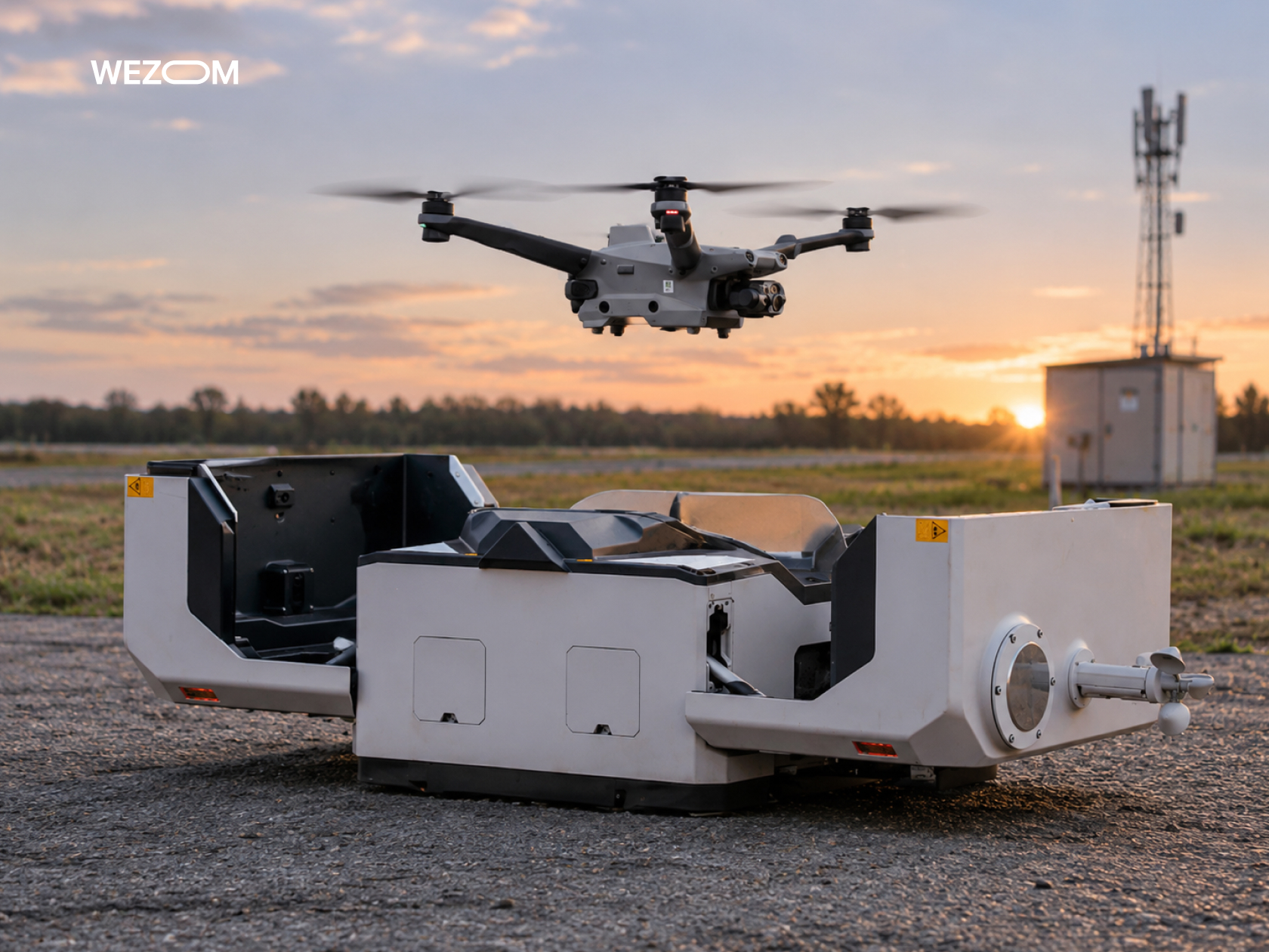
Erasing the limitations of the line of sight dramatically alters the economics of UAV operations and shifts its purpose from a solution for manual supervision to a highly automated infrastructure.
Long-Range Pipeline, Power Line, and Utility Inspections
In the energy sector, BVLOS drones can survey thousands of kilometers of power lines and pipelines in a single flight. Equipped with onboard LiDAR and thermal imaging sensors, they automatically detect issues such as sagging power lines, vegetation encroachment along rights-of-way, or minor gas leaks, and relay the precise coordinates of these defects directly into corporate ERP systems.
Agricultural Monitoring and Autonomous Crop Surveillance
For large-scale agricultural holdings, BVLOS (Beyond Visual Line of Sight) operations make it possible to cover vast tracts of farmland spanning tens of thousands of hectares. Autonomous fixed-wing drones equipped with multispectral cameras generate precise NDVI maps, identifying localized areas of crop stress or moisture deficiency, all without the need for agronomists to travel to the fields.
Drone Delivery and Logistics Operations
Logistics companies utilize BVLOS operations for the express delivery of cargo to hard-to-reach regions. Autonomous freight platforms travel along established, safe air corridors between hubs, with minimal operational costs.
Emergency Response, Search and Rescue, and Public Safety
For emergency services, BVLOS drones provide immediate coverage of areas affected by natural disasters, man-made catastrophes, or large-scale search operations. The first wave of UAVs arrives at the scene within minutes, transmitting real-time video to the command center before ground crews reach the location.
Drone-in-a-Box Systems for Remote Infrastructure Monitoring
The “drone-in-a-box automation” concept represents the pinnacle of BVLOS technology. Autonomous base stations installed at remote industrial sites automatically open their enclosures, deploy drones according to a set schedule, recharge batteries, and upload collected data to the cloud – all without the need for any human presence on-site.
How to Develop BVLOS Drone Software for Commercial Operations
Unlike standard software for VLOS operations, a BVLOS stack must ensure deterministic system behavior in the event of a total loss of communication and dynamic changes in the airspace environment.
Defining Operational Requirements and Regulatory Constraints
Development begins with a rigorous formalization of the ConOps and regulatory requirements. Engineers define an acceptable risk profile, specifying parameters such as the maximum kinetic energy of the airframe in the event of a crash and the population density within the flight corridor. The classification of the controlled airspace is also considered. These metrics are then used to derive quantitative software requirements, including the maximum response latency for the DAA system, the sensor polling frequency, and the activation timing for “lost-link” contingency procedures.
Choosing Between PX4, ArduPilot, and Custom Flight Software
At the low-level flight controller management layer, the choice typically comes down to three options (still, the PX4 and ArduPilot integration remains preferable):
- PX4 Autopilot. Preferred for commercial BVLOS systems due to its strictly modular microkernel architecture, based on the NuttX OS, native integration with Micro-XRCE-DDS, and the ease with which isolated software daemons can be certified.
- ArduPilot. Offers an extensive range of supported hardware and a broad feature set; however, its monolithic structure complicates the isolated validation of individual safety-critical modules.
- Custom flight software. Developing software from scratch is reserved exclusively for highly specialized military or heavy-lift cargo platforms, given the prohibitive costs associated with certification under aviation standards.
Designing Scalable BVLOS Software Architecture
The architecture of a commercial BVLOS stack is built upon a strict separation between safety-critical loops and information services. Middleware based on ROS 2/DDS – configured with specific QoS policies – is deployed on the onboard computer. The critical flight loop operates in real time with minimal overhead, while resource-intensive tasks are offloaded to isolated processes with restricted access to CPU resources.
Integrating Navigation, Communication, and Detect-and-Avoid Systems
Building a unified navigation and communication core requires the seamless integration of disparate data streams. A positioning module combines data from multi-frequency GNSS and RTK positioning receivers with visual odometry and barometer readings, processed via a Kalman filter.
The DAA system is integrated directly into the trajectory planner: upon detecting a non-cooperative object, the tracker relays its motion vector to an avoidance module, which recalculates the flight corridor without violating geofence boundaries.
Simulation, Software-in-the-Loop (SITL), and Hardware-in-the-Loop (HITL) Testing
Before being deployed to an actual testing ground, the software undergoes comprehensive simulation-based testing:
- Software-in-the-loop testing. Verification of high-level algorithm logic and microservice interaction within a virtual environment (Gazebo/AirSim) across hundreds of generated scenarios.
- Hardware-in-the-loop testing. Integration of actual flight controllers, onboard computers, and communication routers into a simulation testbed. HITL enables the physical measurement of hardware latencies on CAN/Ethernet buses, as well as the testing of power-cutoff logic and system behavior during sudden voltage drops.
Field Validation, Regulatory Documentation, and Deployment
Field testing marks the final stage of the development process. Engineers conduct a series of test flights involving simulated failures, such as physically disconnecting cellular modems and jamming GPS signals. Additionally, the obstruction of onboard camera lenses is tested. The collected logs and system stability data form an evidentiary basis for aviation authorities, following which the software is deployed to production-model aircraft via secure over-the-air update channels.
BVLOS Drone Operations: Implementation Costs and Technical Challenges
Transitioning to BVLOS operations will not only require a developer to restructure their costs. This is primarily because, whereas connecting traditional VLOS systems could be as simple as buying an off-the-shelf UAV and training the pilot, a BVLOS program entails the full-scale development of a complex hardware and software system.
Important Factors in the Development of BVLOS Software
Budget for software development is divided among several main areas:
- Autonomy architecture and DAA. Designing and debugging airborne separation algorithms, and integrating computer vision modules.
- Cybersecurity and encryption. Implementing asymmetric encryption on the C2 link, backend security, and configuration of secure data exchanges by Remote ID and UTM standards.
- Certification documentation. Formalizing code and performing verification checks to ensure compliance with Acceptable Means of Compliance standards, as imposed by civil aviation authorities.
Maintenance Support and Regulatory Affairs Costs
The costs for the onboard equipment and dump communication channels are illustrated in the table below.
| Cost category | Expenses | Impact on operating budget |
|---|---|---|
| Airborne equipment | Certified DAA radars and ADS-B receivers. | High capital expenditures per aircraft. |
| Connectivity & infrastructure | Multi-modem cellular routers and commercial satellite communication tariffs. | Recurring operating expenditures scaling with flight hours. |
| Regulatory compliance | SORA/Waiver legal support and risk insurance. | Significant upfront expenditures for launching each new route. |
Technical Barriers to Scaling Autonomous BVLOS Fleets
The primary technical bottleneck in scaling commercial drone fleets is the “information overload syndrome” experienced by remote operators. Without a high degree of autonomy, a single operator cannot effectively manage more than one or two aircraft flying BVLOS simultaneously.
A second barrier is the inconsistent coverage of 4G/5G cellular networks at altitudes of 100-300 meters, which necessitates the development of costly hybrid systems that include an automatic fallback to satellite connectivity.
Operational Efficiency and ROI for Commercial Drone Programs
The ROI of BVLOS programs is achieved by shifting the operational ratio. Transitioning from a “1 pilot per 1 drone” model to an architecture where a single operator manages 10-20 autonomous UAVs reduces the cost of inspecting a kilometer of power line, or delivering a single payload, by 60-80%. Capital investments in software and certification are fully recouped within 12-18 months, provided that operations are conducted on a regular, large-scale basis.
The Future of BVLOS Drone Technology and Autonomous Aviation
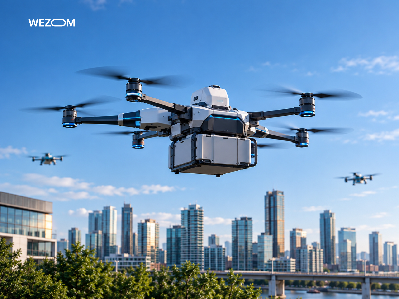
In the years to come, we will see the passage from separate operational corridors to one common airspace which will function in a clear and automatic manner.
AI-Driven Navigation and Independent Decision Making
The advent of the latest models of onboard neural networks will transform navigation from the essence of rigid models and will enable it to practice adaptive autonomy. The onboard AI will be able to evaluate the dangers of making an emergency landing in real time, monitor the situation below using camera sensors, and select the most appropriate place for landing in case of an engine failure, without the participation of a human being.
Advanced UTM Integration and Common Airspace Usage
The future of BVLOS flights will not be possible without the absolute automation of the drone traffic management system. The airspace will become an active digital space: aircraft will automatically ask for 4D flight corridors, exchange trajectory information directly using decentralized protocols, and give way to passenger and emergency airplanes in real time.
How Evolving FAA Regulations Could Enable Scalable BVLOS Deployment
The adoption of the formalized Part 108 framework in the United States and the harmonization of EASA SORA standards in Europe will finally eliminate the need to obtain individual authorizations for every single mission. Certifying manufacturers based on UAV airworthiness classes will make BVLOS operations as routine and accessible as commercial flights in modern general aviation.

FAQ
Can you fly a BVLOS drone without a visual observer?
Yes. Flights without a visual observer are permitted, provided you have an approved FAA waiver application and an onboard, certified DAA system.
How far can a BVLOS drone legally fly in the United States?
There are no statutory limits on distance. The range is determined by the aircraft’s technical specifications, the stability of the command-and-control link, energy capacity, and the operational boundaries defined in your FAA authorization.
What is the difference between BVLOS certification and an FAA BVLOS waiver?
An FAA waiver is a one-time or temporary authorization granted for a specific project or location. BVLOS certification, by contrast, involves a formal, comprehensive certification of both the aircraft type and the operator for routine BVLOS operations.
Can an existing commercial drone be upgraded for BVLOS operations?
Yes, provided the platform can accommodate an additional onboard computer, certified DAA sensors, redundant communication links, and an emergency parachute system.
Do BVLOS drones need continuous internet connectivity?
Not necessarily. While cellular connectivity is frequently used, the drone can continue its flight autonomously, even if the cellular connection is lost, by relying on satellite links, line-of-sight radio modems, or pre-programmed "lost-link" protocols.
Can BVLOS operations be conducted over populated areas?
Yes, but this requires meeting the most stringent safety standards, including airframe structural certification, redundant critical systems, an emergency parachute, and a demonstrated, minimal level of risk to people on the ground.
Does LAANC authorization allow a drone to fly beyond visual line of sight?
No. The LAANC system provides access to controlled airspace, but it does not waive the requirement for visual line of sight. BVLOS operations specifically require a separate waiver under 107.31.
How long does it take to prepare a BVLOS drone operation for regulatory approval?
Preparing documentation, integrating equipment, and undergoing the FAA review process typically take between 3 and 9 months, depending on the complexity of the mission.
