AI & Analytics for Drones
AI and Data Analytics for Drones
We create AI-powered drone analytics software that turns aerial imagery and sensor data into actionable insights. Combining machine learning, computer vision, and data visualization, it helps enterprises automate inspections, mapping, and decisions.

Predictive Analytics
WEZOM implements predictive models to forecast changes. For example, in industry, this could be equipment wear and tear and maintenance schedules; in agriculture, crop growth dynamics and yields; in ecology, landscape changes or pollution.
Data Visualization Dashboards
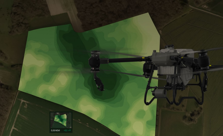
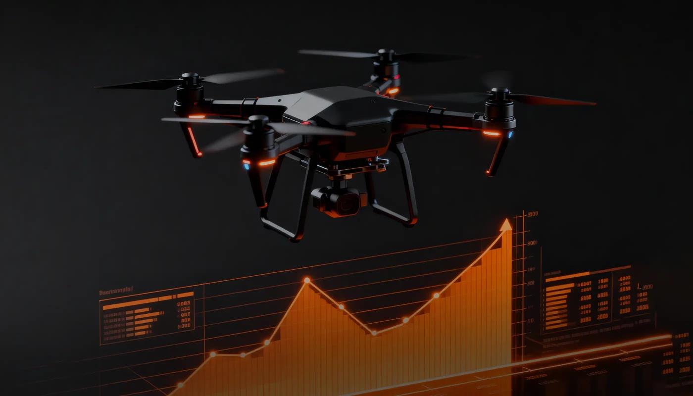
We transform data collected from drones into clear, interactive dashboards and 3D visualizations. As a result, you will be able to view heat maps, orthophotos, terrain models, and statistics on selected objects in real time.
Edge AI Deployment
The edge AI technology we can implement in your project enables on-board data processing in the drone without the need to transmit it to the cloud, which is useful for missions in remote areas without a stable connection.
Custom AI Model Training
We create custom machine learning models trained on datasets you provided to us. This means we can take into account the specifics of your objects, aerial videography conditions, and business processes.
Why AI & Analytics Matter for Drone Operations

Gain real-time insights from large volumes of aerial data.
Automate visual inspection, classification, and measurement processes.
Integrate AI modules across entire drone fleets or enterprise platforms.
Predict and prevent incidents before they occur.
Connect drone data with BI and ERP systems for complete operational context.
Software Company WEZOM
Our objective is to develop a profitable and effective solution that helps clients to expand their businesses and overcome financial constraints. We are committed to exceptional service and utilizing all resources to bring the finest products & services.
Multi-Sensor Ecosystem
Flight Systems
Case Studies
What clients say

I am very satisfied wit the work process and project management. Everything was clear, on time and I had nothing specific to add. Yes, we are satisfied with the result of the work and the product meets the goals set. I can't wait to continue our work on the app.

Incode-Group is thrilled to recommend WEZOM for their exceptional services. Their development of an employee management system for our company has been transformative, revolutionising our operations and optimising efficiency across the board. WEZOM's consistent delivery of outstanding work has made them an integral part of our team. Their expertise in software development and UX design has played a pivotal role in enhancing our project's functionality and user experience. We are truly grateful for WEZOM's contributions and highly endorse their services.

Our collaboration with WEZOM to develop the interactive learning platform for Corpsoft.io was exceptionally positive. From the outset, WEZOM demonstrated a deep understanding of our requirements and goals for the project. Their team was proactive in proposing innovative solutions and ensuring that the platform met our needs for engaging and effective online education. Throughout the development process, communication with WEZOM was clear and transparent. They provided regular updates on progress, promptly addressed any issues or concerns, and sought feedback to ensure alignment with our vision. The project was completed within the agreed timeline and budget, showcasing WEZOM's commitment to delivering results.
Recognition built on сlients' trust
Industries Using Drone AI & Analytics
Core Capabilities
Insights
FAQ
Which AI models can be used for drone analytics?
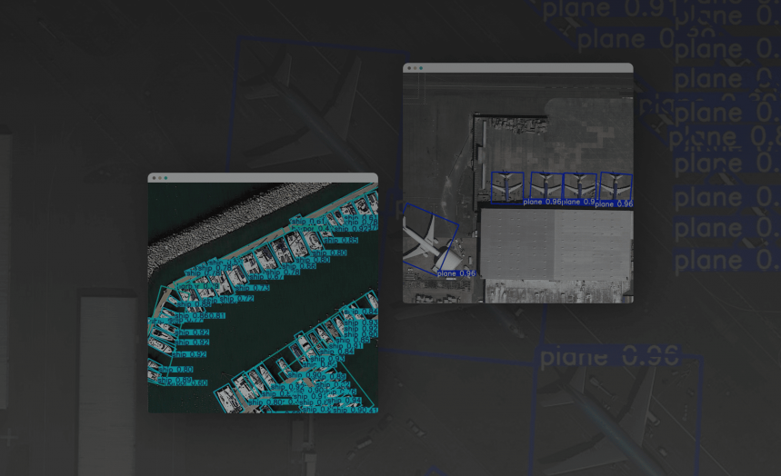
WEZOM uses advanced neural network architectures, including YOLO and SSD for object detection, U-Net and Mask R-CNN for image segmentation. We can also create custom models from scratch, so that they will be fully tailored to your unique needs.
How accurate is AI-based detection compared to manual inspection?
In most cases, the accuracy of automated analysis exceeds 95%, especially with high-quality training data, which, in turn, minimizes the risk of human error and significantly speeds up the process of monitoring facilities across large areas.
Can analytics integrate with GIS or ERP systems?
Yes, our solutions support integration with platforms like ESRI, SAP, Power BI, QGIS, and ArcGIS, while the data will be transferred via APIs or ready-made connectors, ensuring compatibility with even legacy systems that you can use for years.
Is the system scalable for large drone fleets?
Yes, the architecture of our custom solutions is designed with distributed operations in mind. Specifically, we provide centralized management and monitoring of an entire drone fleet, as well as parallel data processing and unified dashboards.
