Drone Mapping Software
Drone Mapping Software Solutions
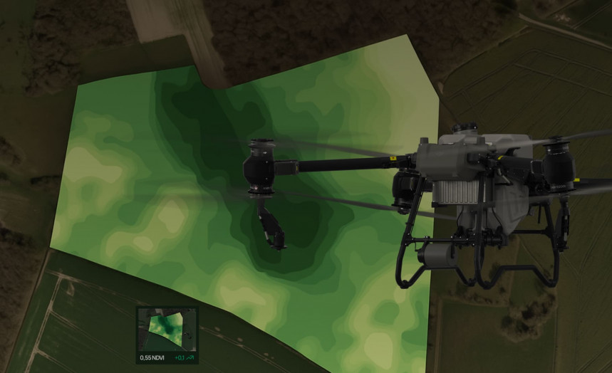
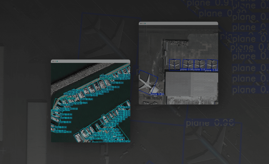
We create drone mapping software that turns aerial images into precise 2D and 3D maps. Our tailored solutions help businesses in construction, agriculture, and land surveying simplify data collection, processing, and visualization.
Orthomosaic Creation
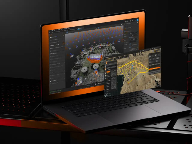
We combine thousands of aerial photographs captured by UAVs into a single image, ensuring georeferencing and distortion removal. As a result, you receive detailed images of the terrain, referenced to a coordinate grid, with centimeter-level accuracy.
Automated Flight Planning
Our team can implement highly intelligent mission planning tools that automatically calculate drone routes and flight altitudes, taking into account terrain and weather conditions. We minimize duplicate crews and equipment power consumption.
Real-Time Data Processing
WEZOM implements tools for on-site processing and streaming data analysis to evaluate survey results directly in the field. For this, we develop real-time algorithms that generate preliminary maps, enabling operators to instantly adjust their routes.
GIS Integration
We export collected data to popular GIS and CAD systems. Our solutions are flexible in supporting many formats (including GeoTIFF, LAS, DXF, SHP, OBJ, and others), allowing our solutions to be integrated seamlessly into your existing processes.
Why Businesses Choose Our Mapping Software

Process thousands of aerial images with high geospatial accuracy.
Cut manual surveying efforts by up to 80%.
Integrate outputs with major GIS, ERP, and BIM systems.
Tailor mapping tools to match your unique industry requirements.
Ensure adherence to local geospatial and aviation data standards.
Software Company WEZOM
Our objective is to develop a profitable and effective solution that helps clients to expand their businesses and overcome financial constraints. We are committed to exceptional service and utilizing all resources to bring the finest products & services.
Multi-Sensor Ecosystem
Flight Systems
Case Studies
What clients say

I am very satisfied wit the work process and project management. Everything was clear, on time and I had nothing specific to add. Yes, we are satisfied with the result of the work and the product meets the goals set. I can't wait to continue our work on the app.

Incode-Group is thrilled to recommend WEZOM for their exceptional services. Their development of an employee management system for our company has been transformative, revolutionising our operations and optimising efficiency across the board. WEZOM's consistent delivery of outstanding work has made them an integral part of our team. Their expertise in software development and UX design has played a pivotal role in enhancing our project's functionality and user experience. We are truly grateful for WEZOM's contributions and highly endorse their services.

Our collaboration with WEZOM to develop the interactive learning platform for Corpsoft.io was exceptionally positive. From the outset, WEZOM demonstrated a deep understanding of our requirements and goals for the project. Their team was proactive in proposing innovative solutions and ensuring that the platform met our needs for engaging and effective online education. Throughout the development process, communication with WEZOM was clear and transparent. They provided regular updates on progress, promptly addressed any issues or concerns, and sought feedback to ensure alignment with our vision. The project was completed within the agreed timeline and budget, showcasing WEZOM's commitment to delivering results.
Recognition built on сlients' trust
Industries We Serve




Core Capabilities
Insights
FAQ
Can the software integrate with existing GIS platforms?
Yes, our software solutions are designed for end-to-end compatibility with leading GIS platforms, including ESRI ArcGIS, QGIS, AutoCAD Civil 3D, MicroStation, MapInfo, and other spatial analysis systems.
Do you support offline mapping or field operations?
Yes, we create our solutions to enable operators to work in remote areas without internet or stable mobile coverage. We implement offline flight planning, route recording, and aerial imagery collection, automatically syncing with the cloud.
Is 3D mapping possible with standard RGB cameras?
Yes, modern photogrammetry algorithms allow us to create accurate 3D models and digital surfaces with standard RGB cameras, without using lidar – this is possible when the survey parameters (angle, altitude, illumination, and flight path) are met.
Can the mapping solution be customized for regulatory compliance?
Yes, we develop projects in accordance with generally accepted national and international geospatial data standards, including ISO 19115, OGC, FAA, EASA, and INSPIRE, thereby ensuring that maps, models, and reports are suitable for commercial use.
